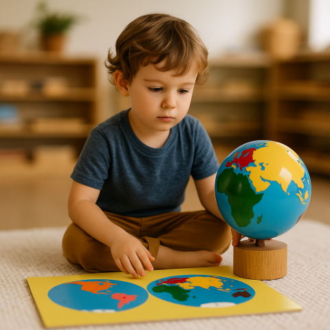
What do you need for this presentation:
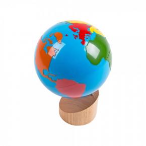
- Globe of the Continents (6.00C)
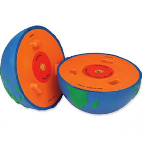
- Blue hollow ball with the continents drawn in black ink. The ball is cut in half. You can use our 6.80 Cross-Section Earth Model.
- Tray, scissors
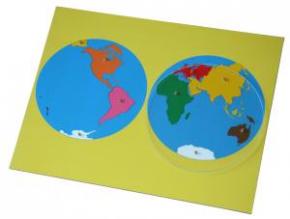
- World Puzzle Map (6.01)
- Teacher-prepared Picture Folder
Presentation: Transformation from the globe to map.
* Invite a group of children to join you.
* Ask one child to lay out a mat and another to bring the Globe of the Continents (6.00C) over to the mat. Bring over the prepared ball on a tray.
* State, “With a globe you can only see the side that is facing you. I'm going to show you how you can see the whole earth at one time.”
* Compare the prepared ball or Earth Model and the globe, they look alike.
* The ball has been previously cut in half and taped together with clear tape. Remove the tape, placing the two halves on the mat side by side. “Now we can see both halves of the world at once.” If possible, make small cuts at the edge of each half so that it can be flattened to show how maps were made.
Introduction of the World Puzzle Map:
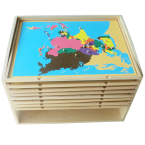
* Take children to the map cabinet and give them the name, “This is the map cabinet and these are the puzzle maps.”
* Show the children how to remove and carry the maps with both hands.
* Bring the map to the mat.
* “This is the World Puzzle Map. We can see two hemispheres, two halves at once.”
* Compare and connect the map and the globe using the continents.
* Put away the globe and the prepared ball or Earth Model. Say that the material is very fragile and should be handled gently.
* Point to the knob and show how to remove the inset carefully. Place the inset of a continent on the mat.
* Ask each child to remove a continent and place it on the mat.
* After all continents have been removed, show how to replace an inset. Be sure to position the piece above its appropriate place and check visually. Replace it gently.
* Invite the children to replace the remaining continents.
* Remember to use the terminology “continent” frequently.
* Have the children put away the materials when they are finished.
Exercise 1:
As in presentation, the children may build the world on the mat.
Exercise 2:
* Introduce the names of the continents.
* Remove three continents of contrasting color and shape, include child’s own continent.
* Give a three-period lesson.
* On following days, continue until the name of each continent is known. Remember to review previously learned names.
* Introduce the names of the oceans in the same manner.
Exercise 3:
* Invite a group of children who know the names of the continents to join you.
* Ask a child to lay out a mat, another to get the world puzzle map of the hemispheres, and you get Picture Folder.
* Ask one child to remove and name their favorite continent. Isolate the continent on the mat.
* Tell the children you have some pictures of this continent.
* Remove the matching folder, note the color coding. Take out one picture to which the children will relate. Discuss the picture with the children. Encourage them to share what they see with you. Place the picture beside the continent.
* Repeat for five or six pictures.
* When finished show how carefully the pictures are put into the folder. Replace the continent in the map.
* Either repeat the procedure for another continent then or repeat on another day.
Exercise 4:
* After the children have experienced the pictures for all the continents, have two children remove two continents.
* Have another child remove the corresponding folders and mix up the pictures.
* The children would look through the pictures and decide to which continent they belong.
* To check if they are correct, the name of each continent is on the back of the picture.
* When finished, replace the pictures in their appropriate folders and return the material.
Exercise 5:
* Show how to trace around the puzzle insets to make a map. Color in the map. An alternative to coloring is to use colored paper or fabrics.
Exercise 6:
* When the child is reading, introduce the printed labels. The child may also label his/her own map.
Purpose:
* To give the impression of the shapes and locations of the continents.
* To give the names of the continents and oceans.
* To introduce the culture of other lands.
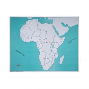
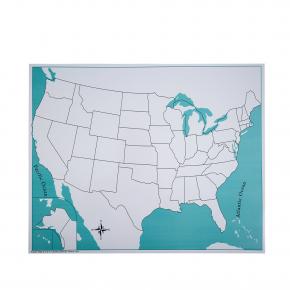
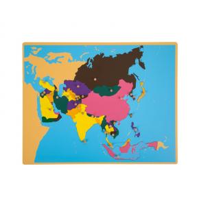
What happens next? In the Montessori classroom, these maps are later introduced individually to help children explore each continent and and their own country of residence:

